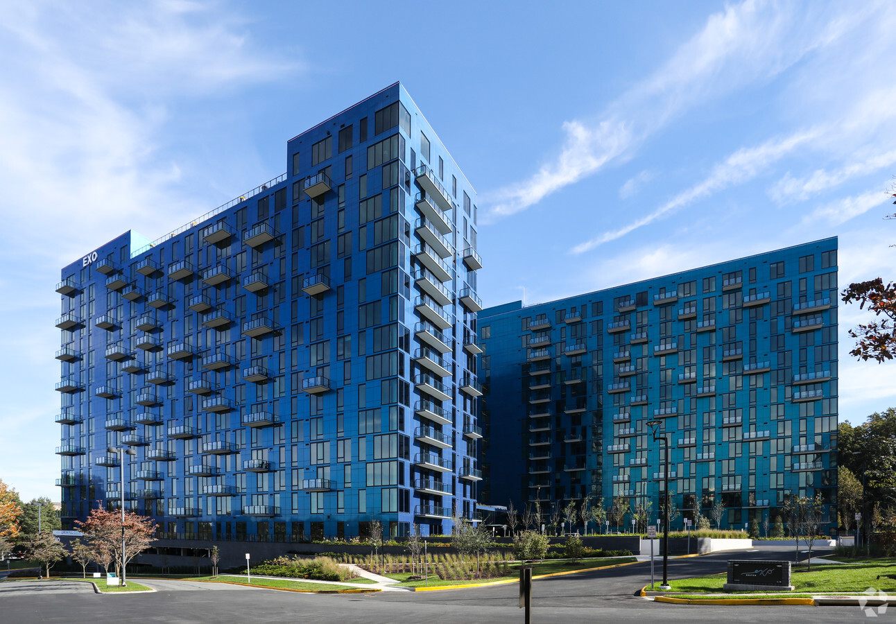
Property Record
1897 Oracle Way, Reston, VA 20190
NEARBY LISTINGS FOR SALE OR LEASE
Property Detail
1897 Oracle Way
Washington-Arlington-Alexandria, DC-VA-MD-WV
Reston
0174-01-0007B
RESTON PT BLK 2 SEC 95
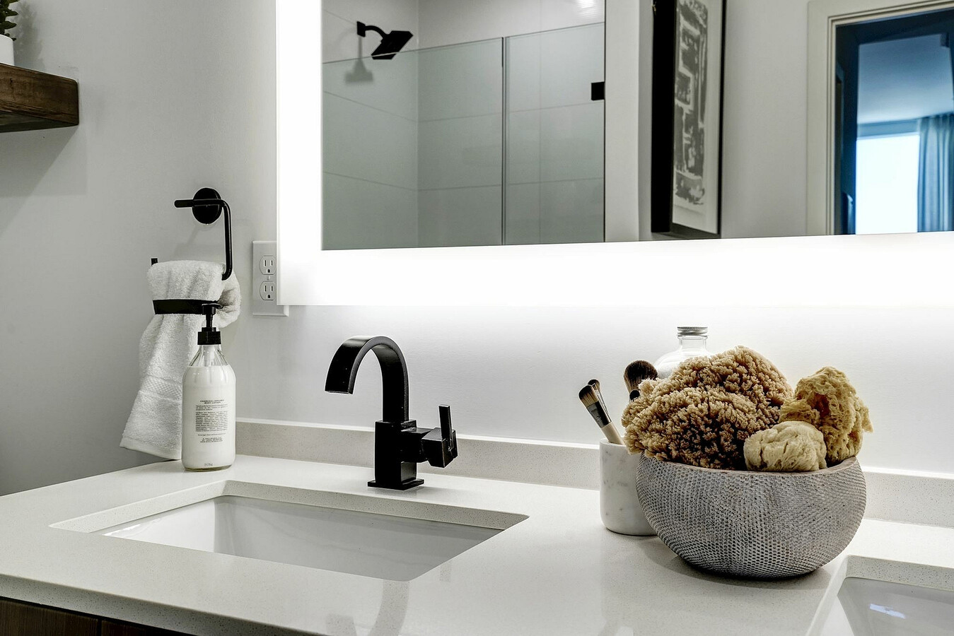
Apartment
Fairfax
X
Virginia
51059C0130E
7b
2024
4.62 AC
2024
Reston
482205
Washington, DC
532,480 SF
DEMOGRAPHICS near 1897 Oracle Way
1 Mile
3 Mile
5 Mile
2024 Total Population
18,524
113,395
227,408
2029 Population
18,645
112,336
227,209
Pop Growth 2024-2029
+ 0.65%
(0.93%)
(0.09%)
Average Age
41
40
39
2024 Total Households
9,793
45,619
82,981
HH Growth 2024-2029
+ 0.67%
(0.78%)
(0.10%)
Median Household Inc
$131,899
$137,053
$146,412
Avg Household Size
1.90
2.40
2.70
2024 Avg HH Vehicles
1.00
2.00
2.00
Median Home Value
$609,017
$651,177
$700,796
Median Year Built
2000
1985
1986
Nearby Places
- Restaurants
- Banks
- Shops
- Fitness
- Groceries
PUBLIC TRANSPORTATION
TRANSIT/SUBWAY
Reston Town Center, Silver Line Center Platform (Metrorail Silver Line - WMATA)
DRIVE
WALK
Distance
Reston Town Center, Silver Line Center Platform (Metrorail Silver Line - WMATA)
12 min
0.6 mi
AIRPORT
Washington Dulles International
DRIVE
WALK
Distance
Washington Dulles International
14 min
6.8 mi
Ronald Reagan Washington Ntl
DRIVE
WALK
Distance
Ronald Reagan Washington Ntl
36 min
23.3 mi
Freight Ports
Port of Baltimore
DRIVE
WALK
Distance
Port of Baltimore
76 min
55.3 mi
Nearby Properties
Address
Land Use
TOTAL SIZE
Lot Size
Zoning
Address
Land Use
TOTAL SIZE
Lot Size
Zoning
6.67 AC
PDC
Address
Land Use
TOTAL SIZE
Lot Size
Zoning
1,071,881 SF
PRC
Address
Land Use
TOTAL SIZE
Lot Size
Zoning
643,232 SF
2.81 AC
PRC
Address
Land Use
TOTAL SIZE
Lot Size
Zoning
473,458 SF
13.74 AC
I-4
Address
Land Use
TOTAL SIZE
Lot Size
Zoning
1,096,572 SF
85.06 AC
R-1
Address
Land Use
TOTAL SIZE
Lot Size
Zoning
446,810 SF
1.12 AC
PRC
Address
Land Use
TOTAL SIZE
Lot Size
Zoning
450,397 SF
1.07 AC
PRC
Address
Land Use
TOTAL SIZE
Lot Size
Zoning
332,957 SF
12.68 AC
I-5
Address
Land Use
TOTAL SIZE
Lot Size
Zoning
275,809 SF
0.75 AC
PRC
Address
Land Use
TOTAL SIZE
Lot Size
Zoning
469,276 SF
11.42 AC
PRC
Address
Land Use
TOTAL SIZE
Lot Size
Zoning
498,299 SF
7.40 AC
PDC
Address
Land Use
TOTAL SIZE
Lot Size
Zoning
560,356 SF
4.33 AC
PRC
Address
Land Use
TOTAL SIZE
Lot Size
Zoning
429,038 SF
11.41 AC
PDC
Address
Land Use
TOTAL SIZE
Lot Size
Zoning
263,767 SF
2.34 AC
PRC
Address
Land Use
TOTAL SIZE
Lot Size
Zoning
396,112 SF
15.92 AC
PDH-30
Address
Land Use
TOTAL SIZE
Lot Size
Zoning
337,921 SF
13.57 AC
PRC
Address
Land Use
TOTAL SIZE
Lot Size
Zoning
264,888 SF
8.59 AC
I-4
Address
Land Use
TOTAL SIZE
Lot Size
Zoning
411,519 SF
3.48 AC
PRM
Address
Land Use
TOTAL SIZE
Lot Size
Zoning
407,812 SF
33.12 AC
PRC
Address
Land Use
TOTAL SIZE
Lot Size
Zoning
274,082 SF
1.08 AC
PRC
Address
Land Use
TOTAL SIZE
Lot Size
Zoning
408,315 SF
5.06 AC
PDC
Address
Land Use
TOTAL SIZE
Lot Size
Zoning
337,100 SF
2.19 AC
PRC
Address
Land Use
TOTAL SIZE
Lot Size
Zoning
340,778 SF
13.50 AC
PDC
Address
Land Use
TOTAL SIZE
Lot Size
Zoning
492,219 SF
16.89 AC
PDH-30
Address
Land Use
TOTAL SIZE
Lot Size
Zoning
322,205 SF
6.91 AC
PDH-30
Address
Land Use
TOTAL SIZE
Lot Size
Zoning
337,399 SF
3.06 AC
PRC
Address
Land Use
TOTAL SIZE
Lot Size
Zoning
394,900 SF
5.30 AC
PRC
Address
Land Use
TOTAL SIZE
Lot Size
Zoning
285,599 SF
8.01 AC
C-3
Address
Land Use
TOTAL SIZE
Lot Size
Zoning
223,230 SF
PDC
The World's #1 Commercial Real Estate Marketplace
Connect with us
© 2025 CoStar Group
The information above has been obtained from sources believed reliable. While we do not doubt its accuracy we have not verified it and make no guarantee, warranty or representation about it. It is your responsibility to independently confirm its accuracy and completeness. Any projections, opinions, assumptions, or estimates used are for example only and do not represent the current or future performance of the property. The value of this transaction to you depends on tax and other factors which should be evaluated by your tax, financial, and legal advisors. You and your advisors should conduct a careful, independent investigation of the property to determine to your satisfaction the suitability of the property for your needs.